Morning Storms and Cooler Air Follow Wisconsin Heat
Forecasters in Wausau and Green Bay describe scattered thunderstorms, a drop in temperatures and rain totals too light to ease drought.
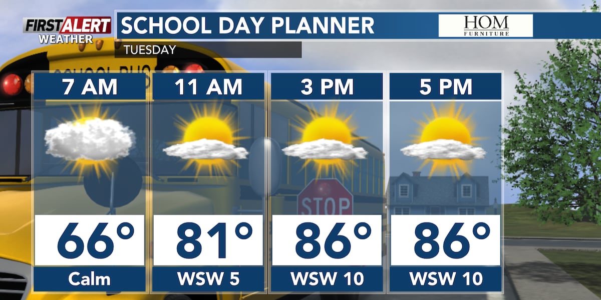
Storms After a Humid Start to September
Television forecasters in Wisconsin describe scattered thunderstorms arriving on the heels of a hot, muggy stretch, with temperatures easing afterwards.
WLUK, the Fox 11 station covering northeast Wisconsin, reported that its next weather system would be scattered thunderstorms pushing into the area overnight and the following morning. The station's forecast called for mostly cloudy skies overnight with scattered thunderstorms mainly after midnight, then morning thunderstorms followed by a mix of sun and clouds and cooler conditions.
WLUK also reported dense fog in parts of northeast Wisconsin, with an advisory in place until 9 a.m. for areas north of Green Bay. The station credited its full forecast to Director of Meteorology Pete Petoniak.
Heat and Isolated Storms in Central Wisconsin
WSAW, the station based in Wausau, described the final day of August as one of the hottest days left in 2026 for central Wisconsin, with highs in the upper 80s and low 90s south of Highway 10. Combined with humid dew points, WSAW said it would feel like 90 to 95 degrees with the heat index factored in.
WSAW placed communities south and east of Wausau under a marginal risk, rated 1 out of 5, for severe weather, citing the potential for gusty winds or small hail. The station said storms were more likely closer to Madison and Milwaukee.
For the day after, WSAW forecast partly cloudy skies and highs in the mid to upper 80s, less muggy but still enough for the heat index to reach the low 90s at the high end. A couple of showers and storms could not be ruled out, the station said.
Cooler Numbers and Limited Rain
WSAW said cooling would begin midweek, alongside a better chance of showers and storms earlier in the day and highs in the mid 80s once rain cleared. No severe weather was expected on that day.
By the end of the week, WSAW put highs in the upper 70s in the north of its viewing area and the low 80s further south. WLUK listed a high of 79 for Thursday and 80 for Friday, each with scattered morning thunderstorms followed by mostly cloudy skies.
WSAW noted that no rain chance in the week rose above 40 to 50 percent, meaning not everyone would see rain, and that those who did should not expect it to change drought conditions much. Neither station's published forecast extends into the weekend, so conditions beyond Friday are not covered by these reports.
More from Donator TRENDS

Nor'easter Brings Coastal Flood Threat to East Coast
A strengthening nor'easter threatens coastal flooding and wind from North Carolina to New England this weekend.
Weather
Slightly Warmer Weather Expected for the Week
A brief warm spell is set to continue this week, with a chance of showers in the northwest Ozarks.
Weather
Tropical Low Approaching Bengal Coast, Causing Sea Level Rise
A low-pressure system is moving towards the coast, prompting warnings for maritime activities.
Weather
California declares state of emergency for winter storm season
Governor Newsom announces emergency measures for potential historic El Niño storms.
Weather
Montana Experiences Scattered Showers on First Day of Fall
Bozeman, Butte, Dillon, and West Yellowstone face mild temperatures and scattered rain showers today as a weak weather system moves in.
Weather
IMD Warns of Thunderstorms and Heavy Rain in India
IMD forecasts renewed storms and heavy rain across several states through mid-September amid new low pressure systems.
Weather