Severe Storms Set to Sweep Southern Ontario Wednesday
Forecasters warn of damaging winds, large hail and an isolated tornado risk as a cold front pushes through the Greater Toronto Area.

Wednesday Afternoon Storm Threat
Strong thunderstorms are expected to move across southern Ontario on Wednesday afternoon as a cold front sweeps through the region.
CP24 Meteorologist Bill Coulter said the main window for severe weather runs from roughly 3:30 or 4 p.m. through to about 7:30 or 8 p.m. across southern Ontario.
"When that cold front comes down later today ahead of it and along it we are going to see some very strong storms," Coulter said.
Damaging Winds, Hail and Tornado Risk
The Weather Network reported that southern Ontario faces a heightened risk of severe thunderstorms on Wednesday, with threats including torrential rain, strong to damaging winds and large hail. The publication said hail could be bigger than golf balls, and elsewhere described hail up to quarter-sized.
An isolated tornado cannot be ruled out, according to The Weather Network. The outlet said clusters of storms or bowing segments are expected, with isolated supercells also possible.
The Weather Network attributed the setup to high atmospheric moisture, stronger upper-level winds and significant wind shear, meaning changes in wind speed and direction with height. A sharp cold front moving in from Michigan is expected to act as the trigger for storm development.
Timing and Geography
The Weather Network said heavy rain was possible early Wednesday morning across the region, including the northern Greater Toronto Area and the Highway 401 corridor, potentially disrupting the morning commute.
Thunderstorms were expected to begin developing across cottage country and Quebec by early afternoon, with the front then pushing severe storms southward from Barrie through the GTA and eastward by late afternoon and evening. Additional trailing storms could reach areas near London around the dinner hour.
CP24 reported that rain was expected to briefly clear around 9 a.m. before stormy weather returned to the GTA in the afternoon. The Weather Network said the exact timing remains uncertain.
Heat, Humidity and What Follows
Toronto was forecast to reach a high of 28 C on Wednesday, feeling closer to 36 with the humidity, according to CP24. The Weather Network said daytime highs ranged from 28 to 30 C in areas such as Hamilton and Windsor, with mid to upper 20s in the GTA, and humidity pushing feels-like values into the 40s from London to Windsor.
Coulter said thunderstorm activity is possible for parts of southwestern Ontario on Thursday, though conditions in the GTA should be clear. The Weather Network said conditions should stabilise overnight into early Thursday, ending the storm threat.
Coulter described "bright and beautiful" weather on tap for Friday, Saturday and Sunday. The sources do not say whether any formal weather warnings had been issued at the time of publication.
More from Donator TRENDS

Nor'easter Brings Coastal Flood Threat to East Coast
A strengthening nor'easter threatens coastal flooding and wind from North Carolina to New England this weekend.
Weather
Slightly Warmer Weather Expected for the Week
A brief warm spell is set to continue this week, with a chance of showers in the northwest Ozarks.
Weather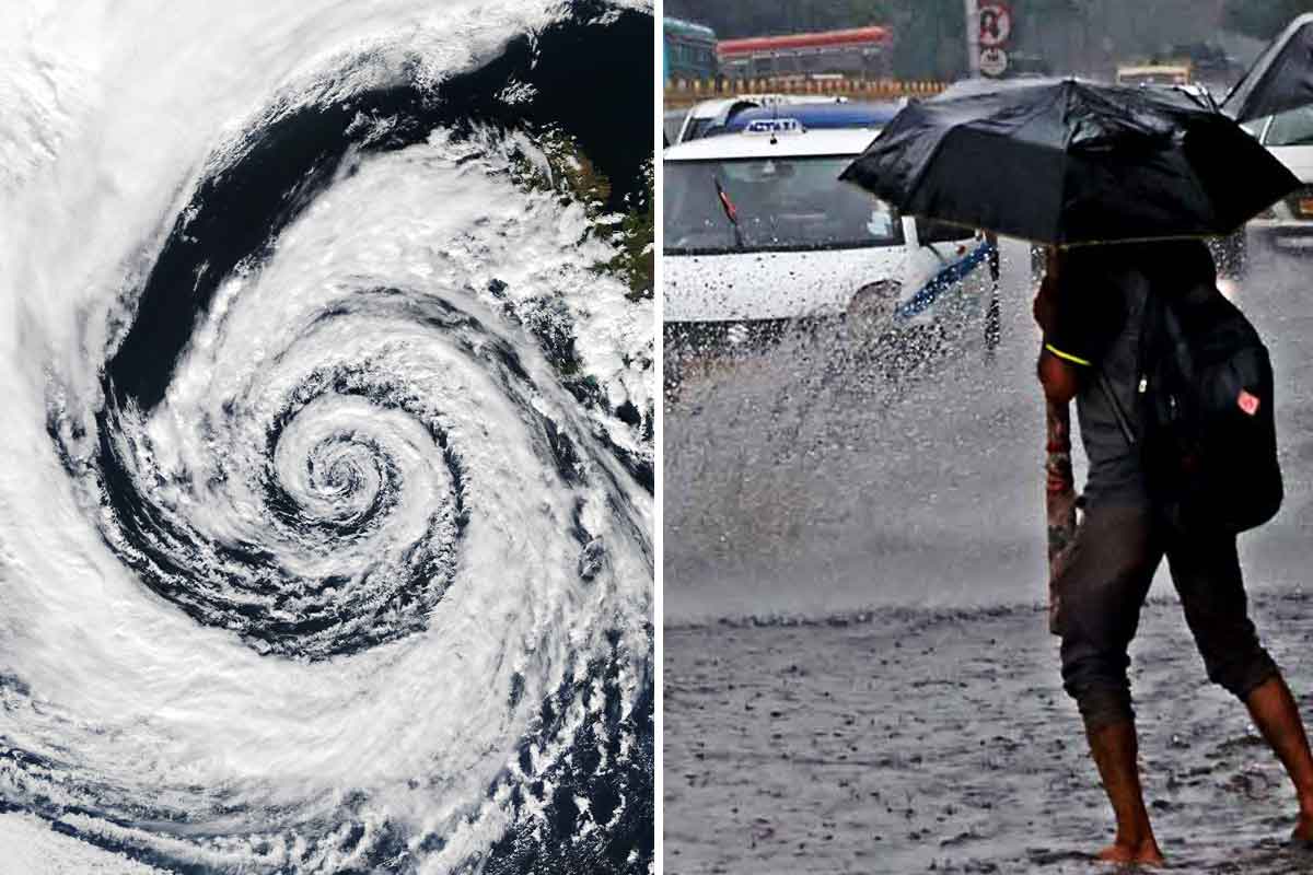
Tropical Low Approaching Bengal Coast, Causing Sea Level Rise
A low-pressure system is moving towards the coast, prompting warnings for maritime activities.
Weather
California declares state of emergency for winter storm season
Governor Newsom announces emergency measures for potential historic El Niño storms.
Weather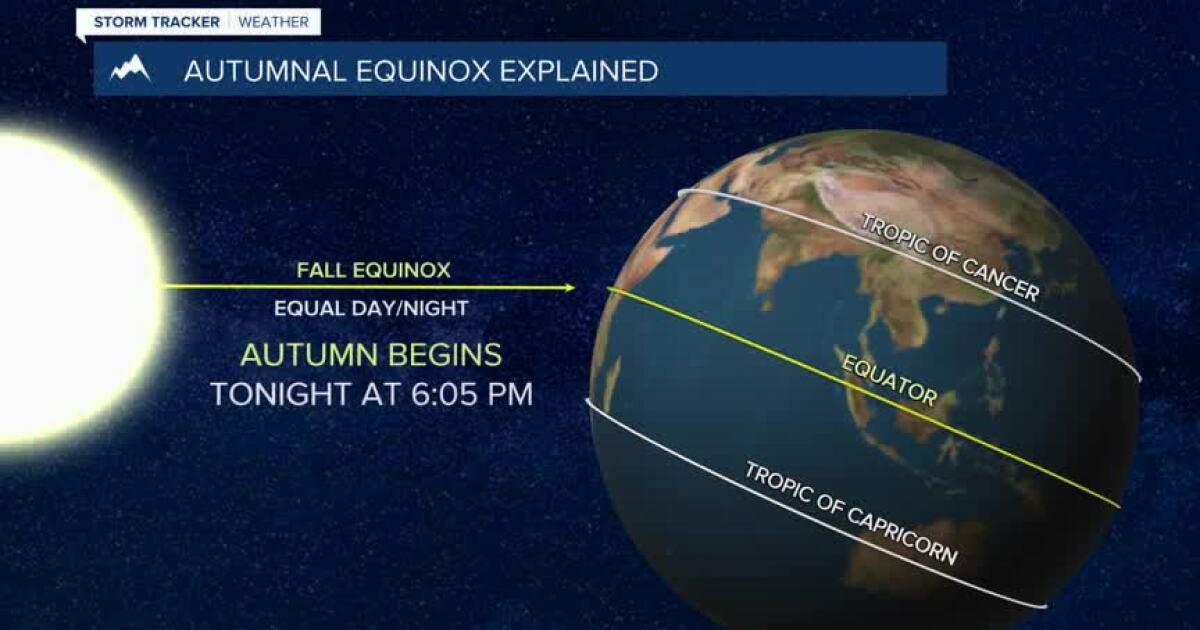
Montana Experiences Scattered Showers on First Day of Fall
Bozeman, Butte, Dillon, and West Yellowstone face mild temperatures and scattered rain showers today as a weak weather system moves in.
Weather
IMD Warns of Thunderstorms and Heavy Rain in India
IMD forecasts renewed storms and heavy rain across several states through mid-September amid new low pressure systems.
Weather