Snow Near Sea Level and Severe Gales End New Zealand Winter
MetService forecast low snow, hail and gusts to 120km/h across New Zealand, as Wellington faces a windier than normal spring.

Wintry blast across the South Island
Snow was forecast to fall close to sea level in Dunedin, with low-level snow, hail and severe gales sweeping parts of New Zealand, the NZ Herald reported.
MetService meteorologist Samkelo Magwala told the Herald a "wet, snowy, and windy end of winter" was in store. The South Island would bear the brunt of it, as strong southwesterlies brought showers and low snow levels.
"Especially in the southern regions, your Central Otago, Southland, North Otago, even Dunedin, there's a possibility of snow lowering to near sea level later today," he said. Magwala added that late bursts of wintry weather are normal at this time of year, noting that New Zealand's meteorological winter can extend into September.
Road warnings and wind watches
Road snowfall warnings covered several southern routes. Up to 12cm was expected to settle near the summit of Milford Rd and up to 8cm on the Crown Range Rd, with snow possible down to 500m on both roads.
On Lindis Pass, the snow level could drop to 400m in the evening, with 2cm to 4cm possible. The deep south was also in line for heavy showers and small hail, while thunderstorms were considered less likely.
Southern Southland, Clutha and Dunedin were under a strong wind watch until noon, with westerlies potentially approaching severe gale in exposed places. Magwala said there was a moderate chance the watch would be upgraded to a warning.
North Island winds and temperatures
Hawke's Bay south of Hastings and the Tararua District were under an orange strong wind warning until 5pm, with severe gale westerlies gusting to 120km/h in exposed places. Damage to trees, powerlines and unsecured structures was possible, and Magwala said the winds could make travel difficult for high-sided vehicles and motorcyclists.
Isolated showers were forecast in western areas from Waikato through to Northland, with fine spells in the east. For Northland, still drying out after weekend flooding, Magwala said the incoming showers would not be as "hectic" and that not everyone would get one.
Auckland and Wellington were both expected to reach 17C, and Christchurch 19C on a mainly fine day. Conditions were due to ease the following day before another system approached on Wednesday, with potential heavy rain in the western South Island, though the Herald reported confidence in that remained low.
Wellington's wind season
Wellington is the world's windiest city, with an annual average wind speed of 29km/h, the Guardian reported. It sits on Cook Strait, the passage between the North and South Islands, and its airport is flanked by hills that compound the winds.
The Guardian reported that this year's "super" El Nino, a label used when sea surface temperatures climb by at least 2C, will be the strongest of the century and could intensify those winds as the city heads into spring, its windiest season.
"There were some El Ninos in the past where it's ended up being very windy in Wellington, so we expect it to be windier and more westerly than normal," said Dr Richard Turner, a research meteorologist at Earth Sciences, who told the Guardian landings would probably be bumpy for the next few months.
More from Donator TRENDS
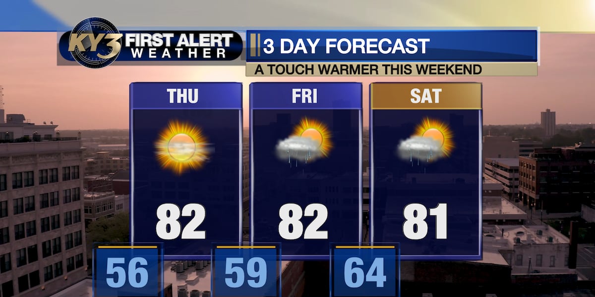
Slightly Warmer Weather Expected for the Week
A brief warm spell is set to continue this week, with a chance of showers in the northwest Ozarks.
Weather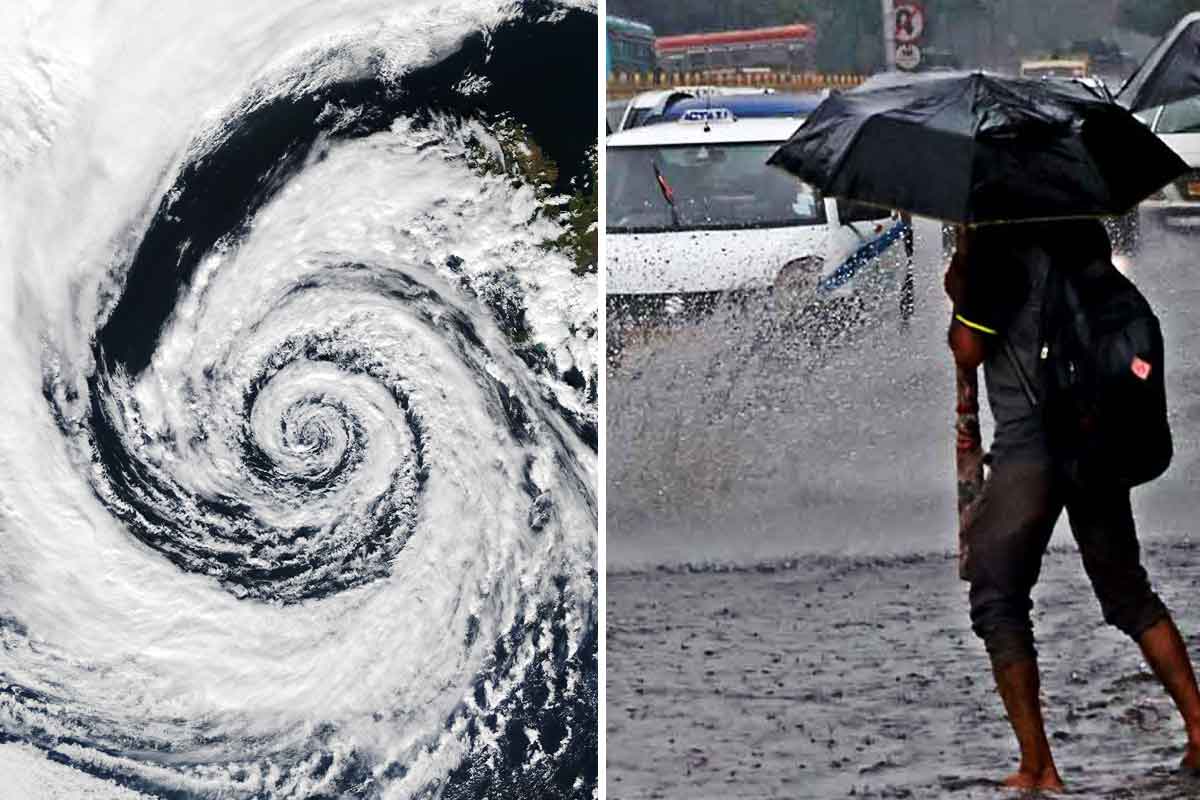
Tropical Low Approaching Bengal Coast, Causing Sea Level Rise
A low-pressure system is moving towards the coast, prompting warnings for maritime activities.
Weather
California declares state of emergency for winter storm season
Governor Newsom announces emergency measures for potential historic El Niño storms.
Weather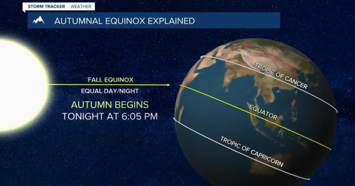
Montana Experiences Scattered Showers on First Day of Fall
Bozeman, Butte, Dillon, and West Yellowstone face mild temperatures and scattered rain showers today as a weak weather system moves in.
Weather
IMD Warns of Thunderstorms and Heavy Rain in India
IMD forecasts renewed storms and heavy rain across several states through mid-September amid new low pressure systems.
Weather
IMD alerts 19 states for heavy rain and thunderstorms
The India Meteorological Department has warned of heavy rain and squally winds across 19 states, as flooding hits parts of Uttar Pradesh.
Weather